
Flight turned out to be exactly 3 hours, 275 nautical miles, and 13 landings!
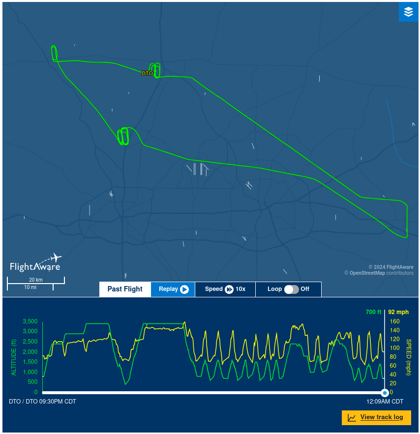
What the map doesn’t show is that we flew right through 2 really busy airspaces. Right in the middle there, just below the lower green line, is DFW. We went right over it! And just to the right of that you can see Love Field too. First time I’ve had commercial airliners flying under me!
Can’t really get good pictures from a cell phone, but I couldn’t not take one or two at least.
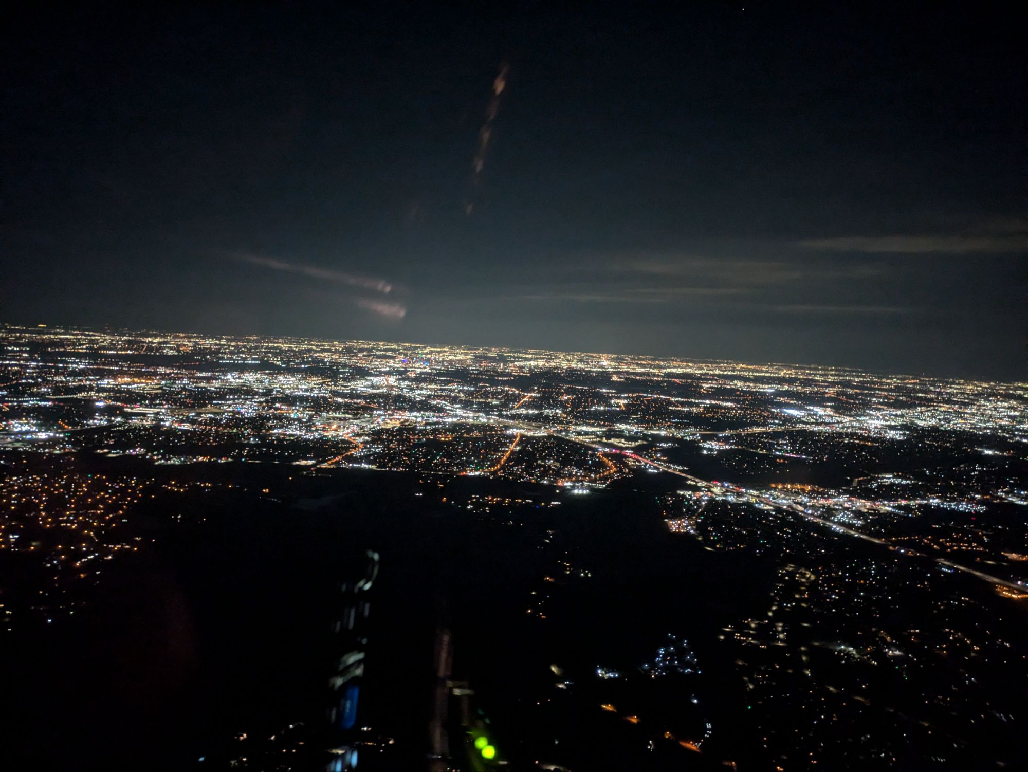
You can only really tell its downtown by looking for the blue and green building lights right about center.
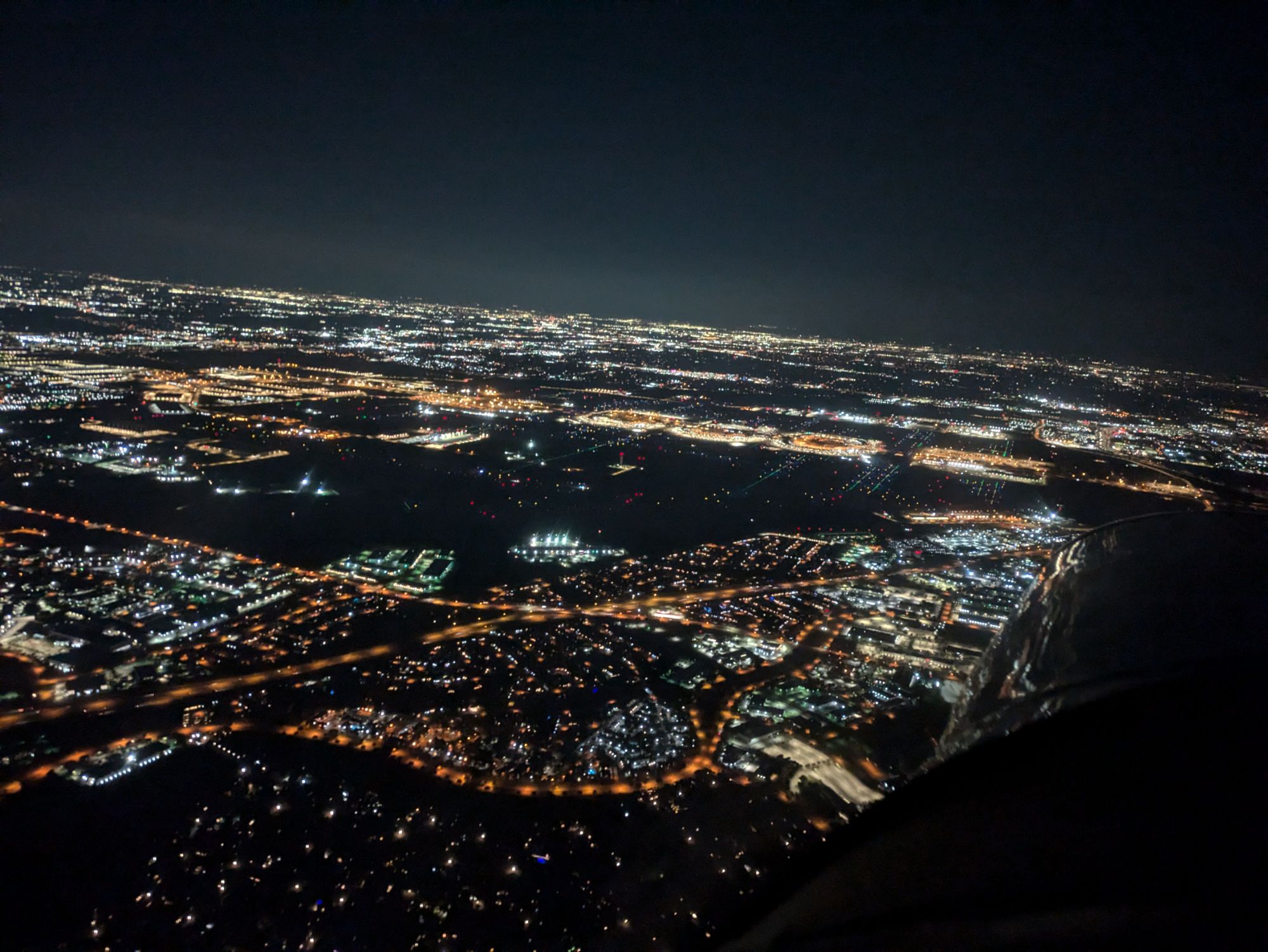
Each one of those little islands of light in the dark are 2 DFW terminals, with a freeway running left-right between them.
Probably the biggest lesson of my first cross-country night flight is that airports are hard to see from the side! Thank goodness for GPS.
We flew down to Terrell and did a stop-and-go, and then flew right across DFW to Alliance and did more landings there. Their runway is huge, and also very well lit, which made it pretty easy. When a flock of 767s showed up we went out to Decatur and did a few more there on a not-large and not-well-lit runway for quite a different experience. Then came home and did a few more at Denton to get ourselves to 3 hours. 9:11PM to 12:11AM!
Was definitely a good first experience with night flying. Looking forward to when we do more night flying for the instrument-flying training!
What do nautical miles mean in air travel? I thought that was for boats!
That route you took looks so cool. As do the photos!