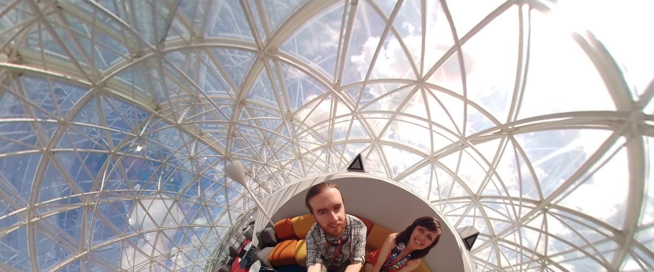
So during our trip to Hawaii last summer I spent all of my free time practicing and studying for my CFI checkride. After getting back I’ve been flying so much that I haven’t been posting anything at all. After posting my yearly ForeFlight recap I realized that there were a bunch of Hawaii pictures that we uploaded, but never got around to posting!
First up is going to be all of the images Bevin took and uploaded.
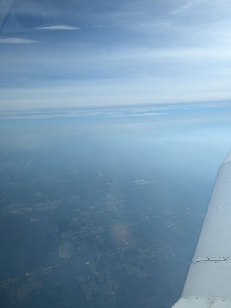
It’s that time again… The time of getting up at 4am to make our way to the airport for a day of travel expected to last, somehow, longer than a whole day. Time gets kinda weird.
To keep the pictures on the front page from getting too crazy you’ll need to click the link to see more:
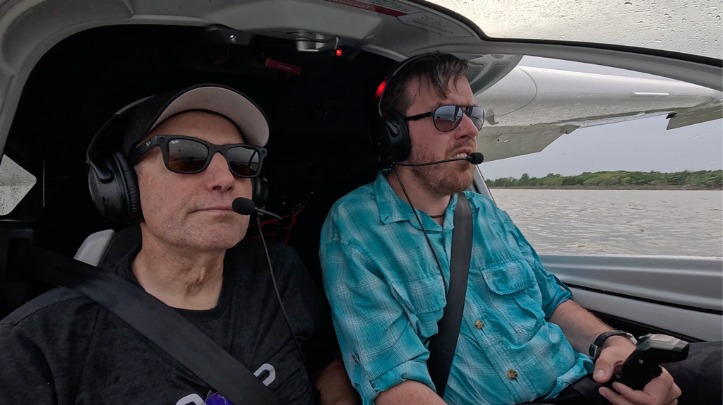
Further adventures in seaplane life! Lake-plane life? Amphibious life, certainly. What’s the word for an amphibian that also flies? It’s a boat, it’s a plane, it’s the Icon A5!
Here’s a photo-dump of more of my semi-aquatic adventures!
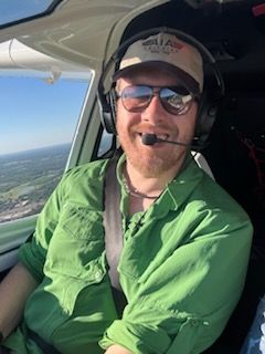
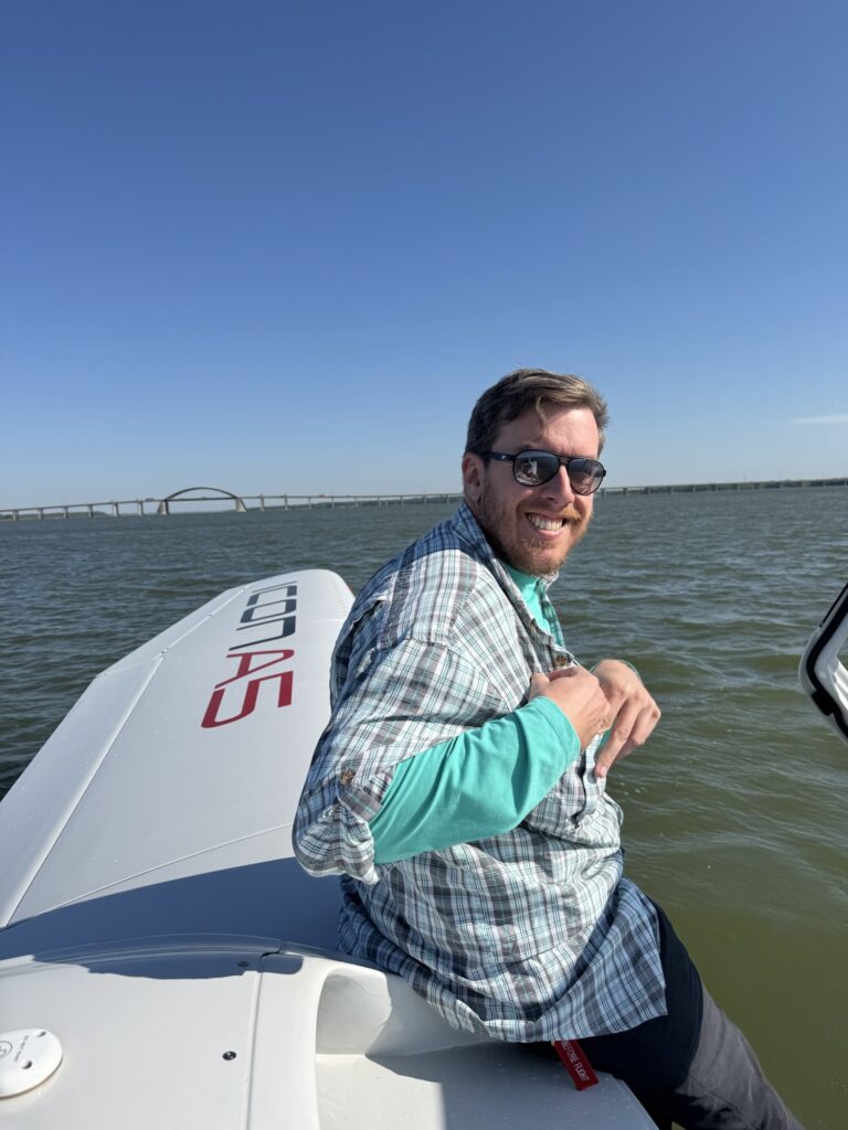
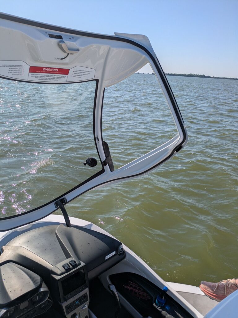
Back on the water, ready for some fun!A slightly damp and bedraggled Josh. When you turn too hard the water comes into the plane, you see. (We don’t fly with the windows installed.)Setting up for the next landing.It’s hard NOT to have a gigantic grin when you’re flying this thing.Taking a break to sit on the water. I liked this picture because it gave you more of a sense of scale. It’s not a BIG plane, you can see how narrow the engine inlet is right by my hand.Me grinning like an idiot, again, because you need to understand just how much fun I’m having.One last break on the water before we head home.
So after about 6 days of training, it’s time to take the test to become a seaplane pilot. Because I’m already a commercially rated pilot the test basically just covers the seaplane-specific stuff. We have to go out and prove we know how to scout a good landing spot, perform the various types of landings and maneuvers, and operate the plane as a boat while we’re on the water.
And here’s the picture of me with the examiner after passing the checkride!
Officially a commercially rated seaplane pilot!
This has been such an incredible amount of fun. The Icon A5 is an amazing plane to fly. It’s designed to be easy to handle, and incredibly safe. It’s actually first aircraft ever to be certified “spin resistant”, which means it’s verging on impossible to get it into an uncontrolled state. It also folds up so that you can put it on a trailer, or in a regular house garage. Really quite an incredible bit of engineering.
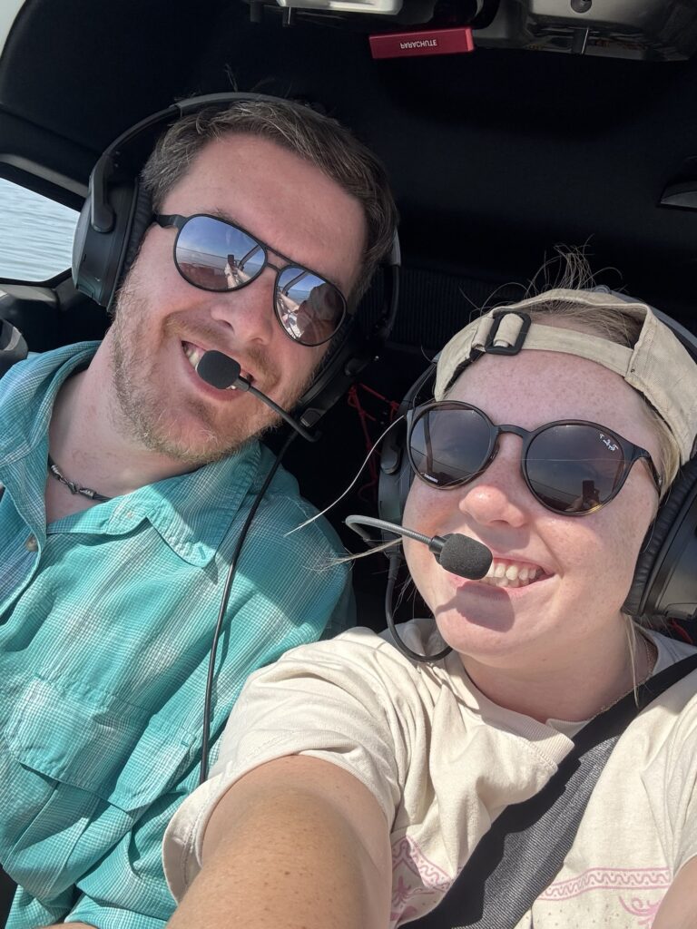
Later this summer Maddie and I will go out for some recurring practice in it, and learn to do some of the more advanced maneuvers, so look forward to more pictures later on!
So this week’s new adventure is all about putting a plane in new and exciting places. Namely, wet ones!
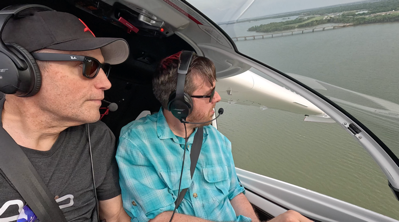
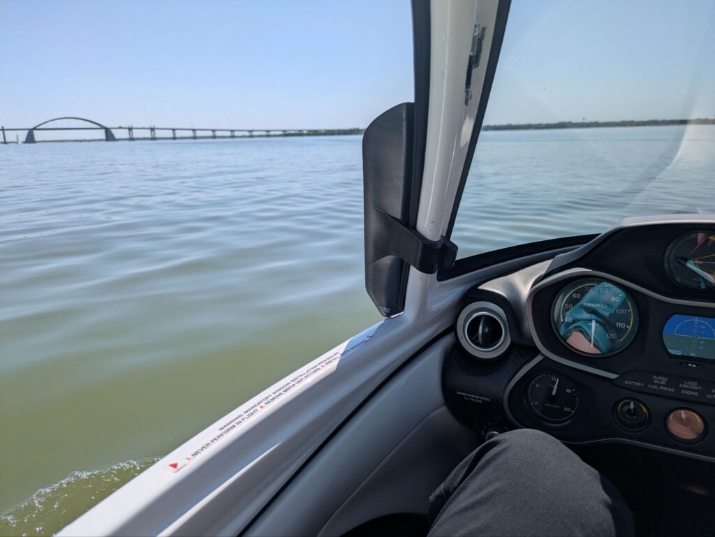
There’s a lake out the window! What’s that doing there?!
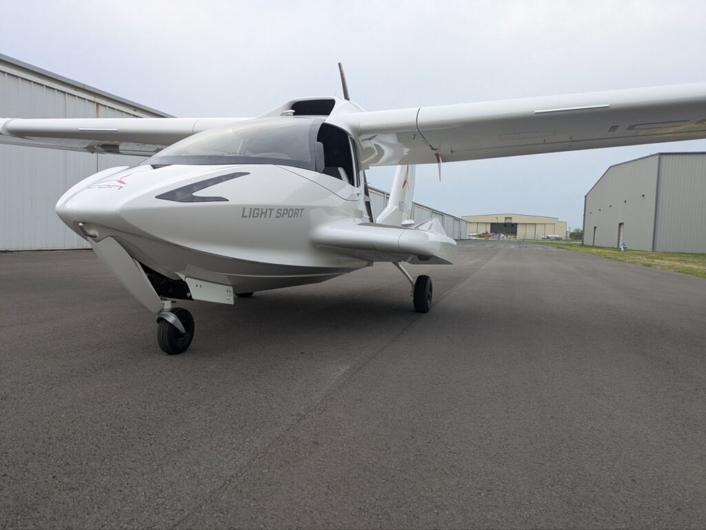
I’m getting my Seaplane rating added to my pilot’s license! The plane I’m doing it in is called an Icon A5, and it’s basically a jet-ski with a wing attached, with retractable landing gear so you can land it at a regular airport as well.
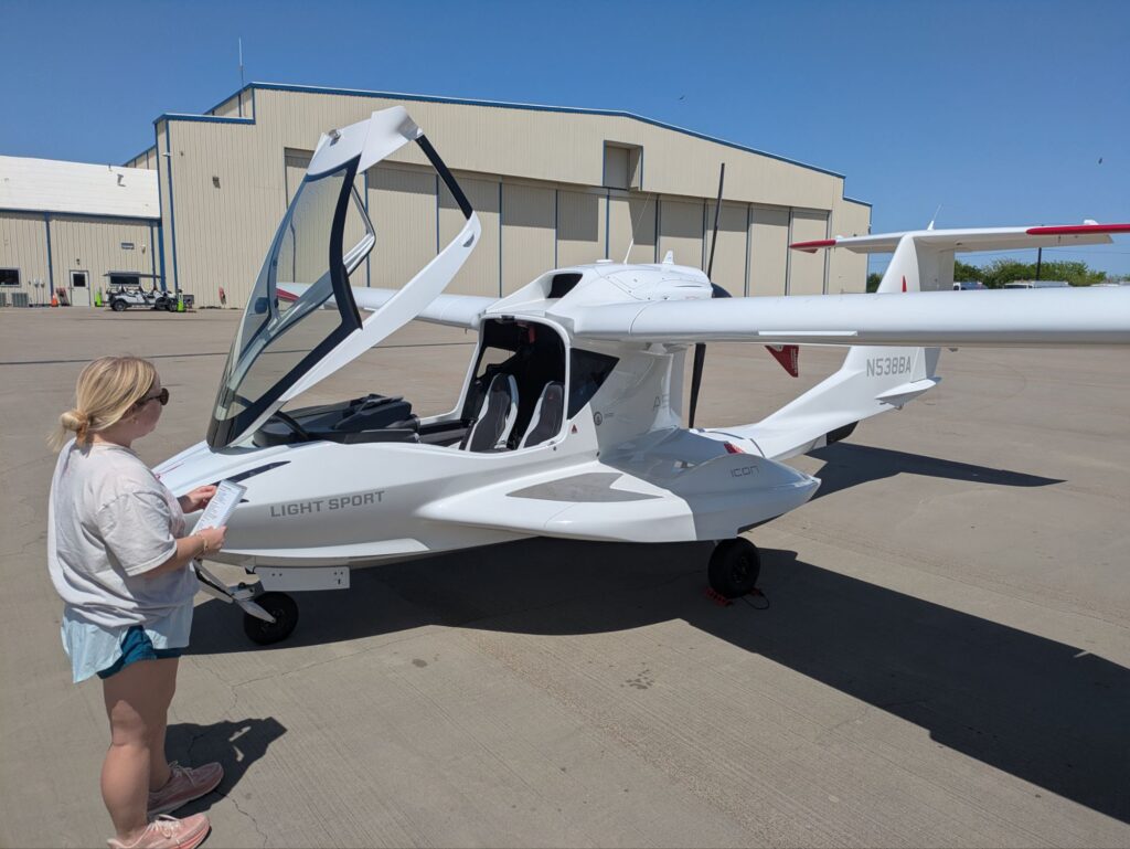
Learning to pre-flight the plane!You can see how low you would be to the water from this angle.We pulled back into the ramp just as one of the local business jets was leaving. The jet pilots were definitely checking out our plane.
To get your seaplane rating you have to learn a number of different landing and takeoff techniques on the water, as well as several different ways to taxi the plane around on the water, or even “sail” the plane by turning off the engine and letting the wind blow you.
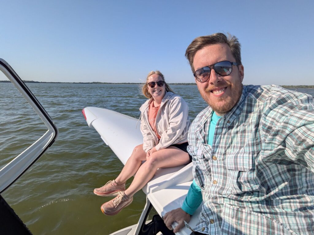
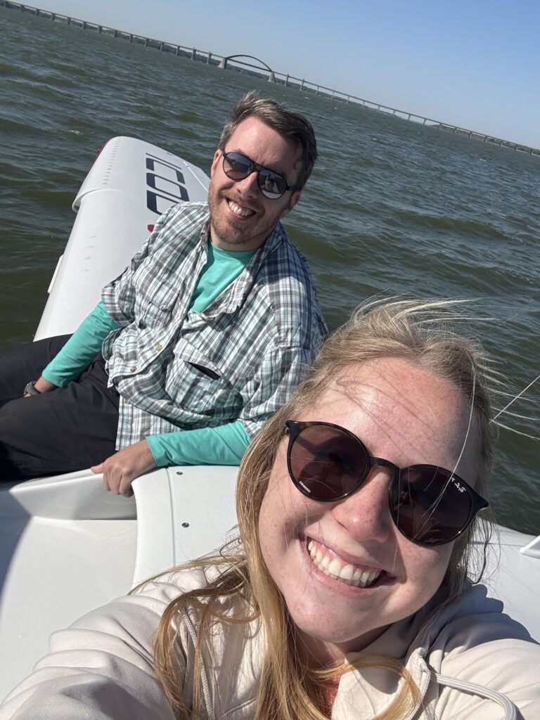
Today we learned how to do that, and got out of the plane to sit on the wing while we floated!
It’s so wild just to to be floating out here.This view gives you a better idea of how low to the water we are when sitting on the wing. Out in the middle of Lake Lewisville, just sitting on an airplane!Looking down into the cockpit with the canopy open, just floating backwards with the wind.
My instructor, Maddie, is big on remembering why we do all this work and making sure we have fun and enjoy flying. Stopping in the middle of a lesson just to float in the lake and enjoy the experience was absolutely amazing. Then we took back off again and did a few more landings, before heading back to the airport!
There’s a lot about flying this particular plane to love. It really is like a jetski when you’re high-speed taxiing across water, because you’re so low down to the water. In the air it handles really well. Flying with the windows out is an amazing experience, both on the water and in the air.
I’ve got a couple more flights for practice before I take the test to become an official seaplane pilot, I’ll try to get some more pictures as I go!
(This post is backdated, because I’m terrible at remembering to post things!)
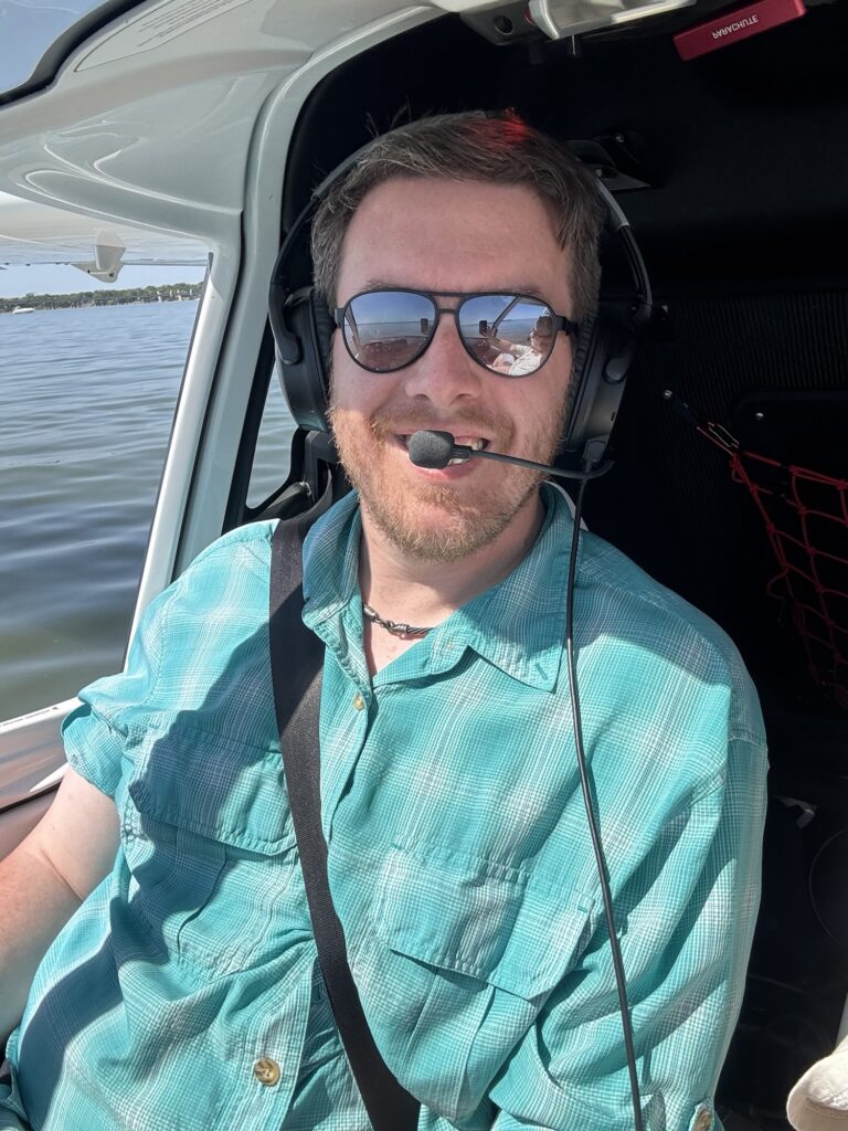
Seem to be sitting in an airplane again!
Where am I headed to this time? Well, I’ll give you a clue: There’s not a lot to look at, other than quite a lot of trees and swamp.
Just ‘cruisin.
I really didn’t take any pictures, because there really isn’t anything out there. For hours and hours. But sometime later, finally a landmark!
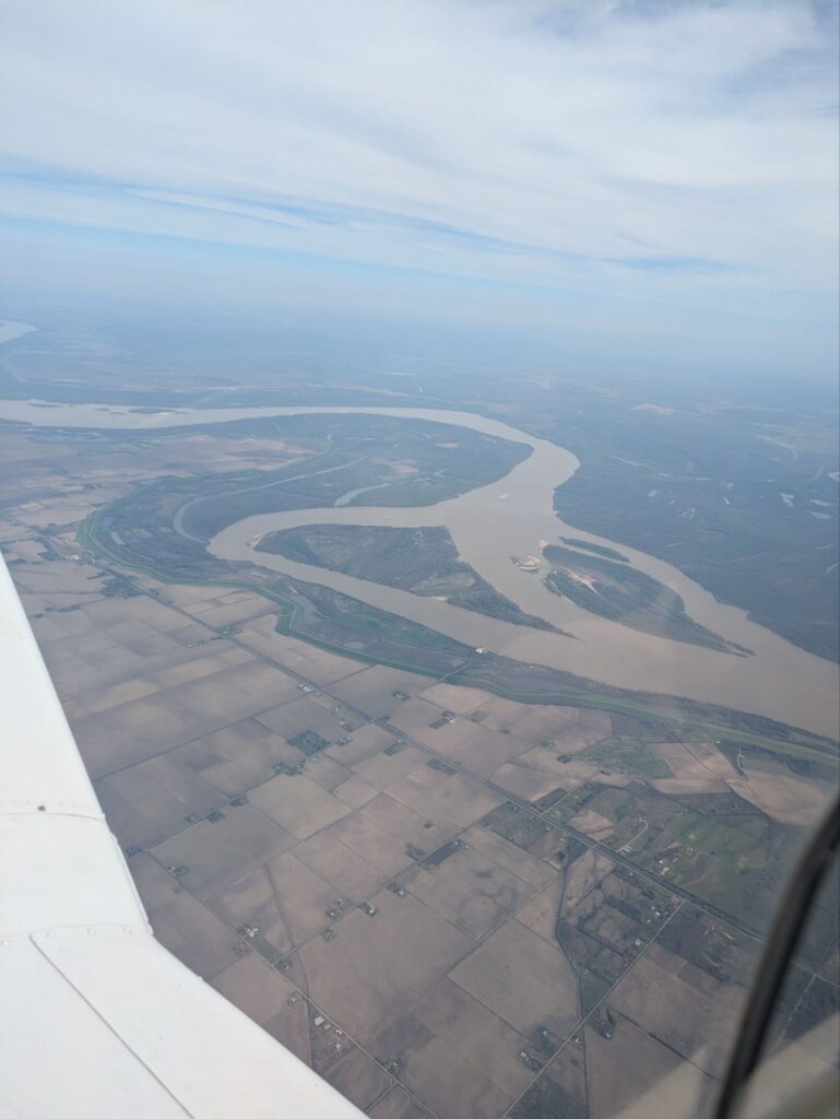
The great (and dirty) Mississippi.
She is not a pretty river, the Mississippi… I started singing “Roll on Columbia” for a bit though, missing the big river of my homeland.
Finally stopping for a break!
4.9 hours later it’s finally time to stop for a break. Having overflown all of Louisiana and Mississippi, I am now arriving in Troy Alabama. Spent most of the flight cruising along up at 9,500 feet, coming in towards Troy I had to duck down to get under some clouds, and then had to start dodging military helicopters! This area is a huge military training ground for hundreds of miles. Primary helicopter training, fighter training, all kinds of interesting traffic flying around out here.
In fact, on my way in, I heard regional ATC ask a military flight if they had a minute to do a low pass. The military flight said yes, at which point I started tracking them on my iPad to see what they were. When I found them they were doing 350 miles per hour, about 1500 feet off the ground. After they left the airspace my curiosity got the best of me and I asked ATC what they were. Turns out it was a flight of F-15s doing a training mission, and the tower guys wanted a little airshow. Very Top Gun, it was pretty cool!
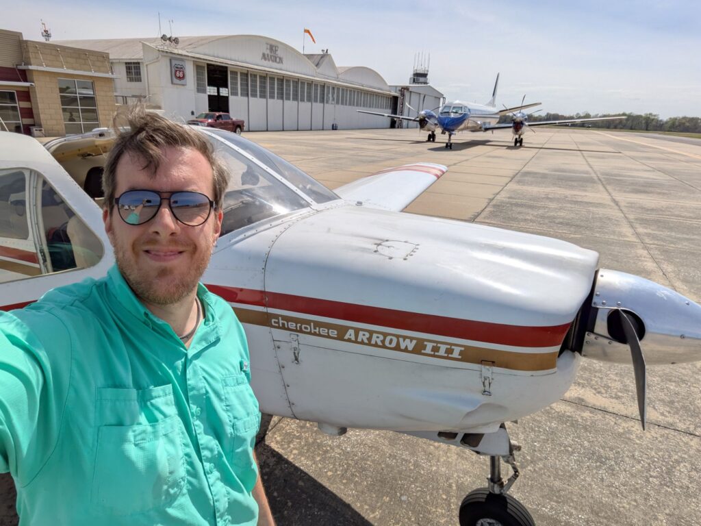
Not sure what Sikorsky is doing here, but they’re the only thing on the field!Getting ready to head back into the sky!
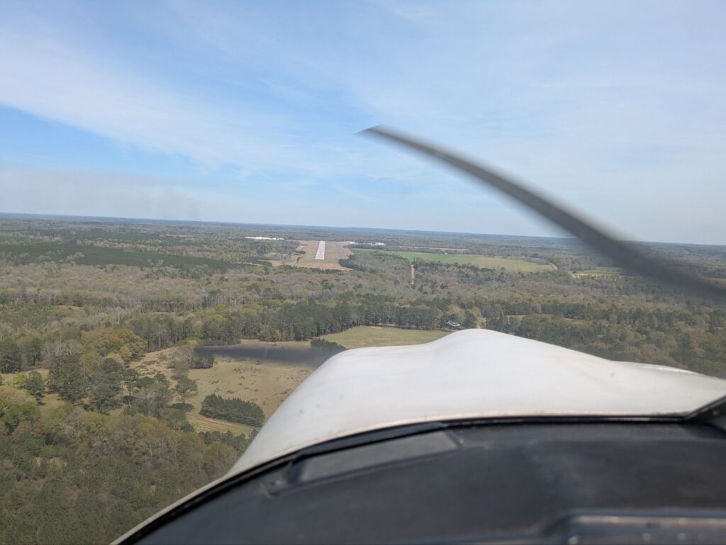
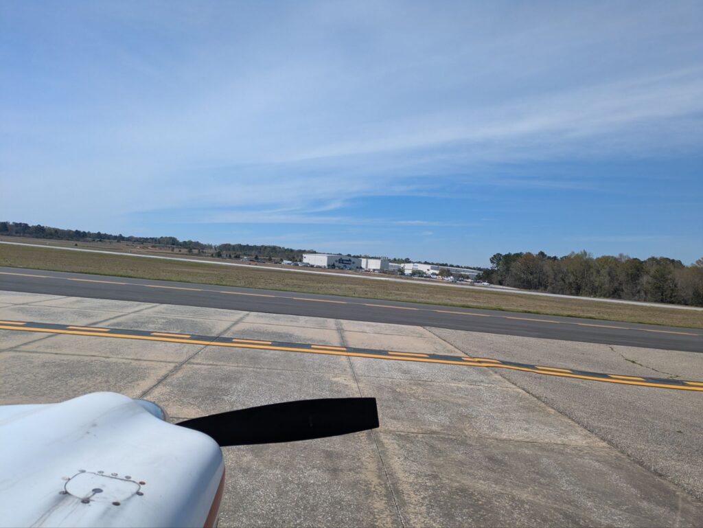
After landing at Troy I take a look at the remaining flight, and I’ve got about 3 hours to get to my destination. I could technically make it with my remaining fuel, but without a lot of margin, so I get the tanks topped off, refill my water bottle, and back into the sky I go!
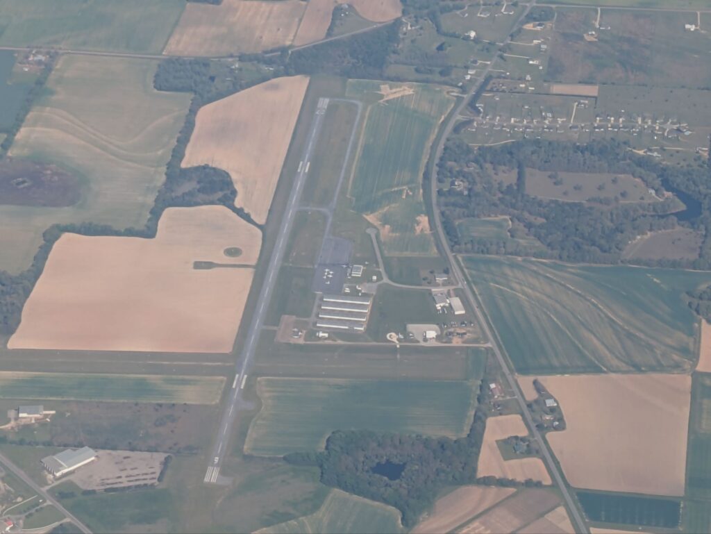
Headland Airport, the furthest east I’ve previously flown.
A couple minutes after takeoff I flew over KHDL, basically the far south-east corner of Alabama. I flew to Headland previously in order to help pick up a plane to bring back to Dallas for our school, and that was the furthest east I’d ever flown. So now I’m into the unknown territories!
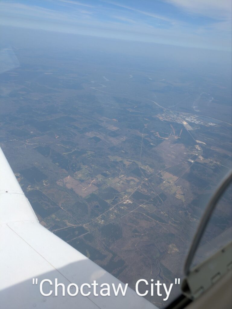
Headland Airport, the furthest east I’ve previously flown.Dodging the clouds that form over the coastThe Elbow (armpit?) of Florida is in sight!Still cruisin’Florida looks pretty much the same as everywhere else along the way. Farmland, swamp, and what is either a prison or a factory farm.The map says that this is “Chocktaw City”. I call shenanigans.
As I came around the corner to start heading south down through Florida I ran into a weather phenomenon I was warned about: steady-state clouds form in this corner as water from the gulf rotates around over land and back out to sea again. I had to detour inland a bit in order to dodge these low-level clouds forming. (I could’ve filed a flight plan to fly right over them, but that comes with some additional difficulties and I wanted to stay VFR, so around we go!)
After that it was smooth flying all the way to Apopka, on the north west corner of Orlando. Landed straight-in to the runway, followed the person I was meeting to their hanger, and got a ride back to Orlando airport for my commercial flight home!
It feels weird to be going through these arches without so much as a Dole Whip or Disney pin to show for it!
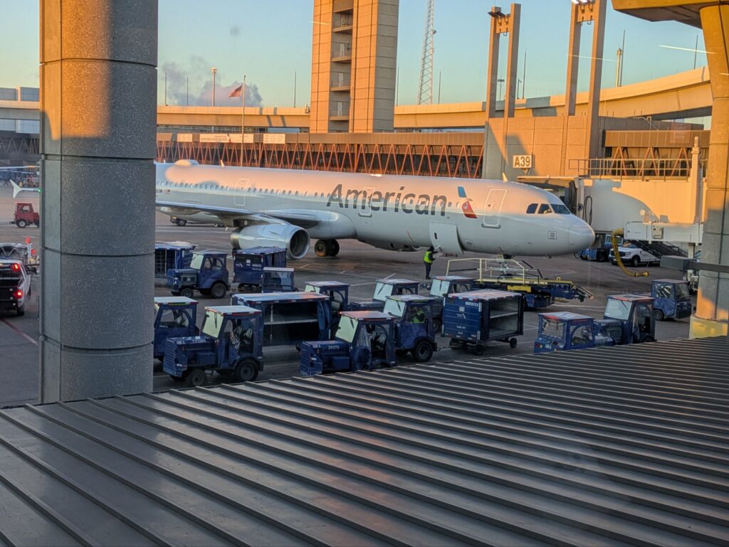
Hopped on a Southwest flight about 45 minutes later and headed back to Dallas! Round trip all in one day from Dallas to Orlando and back to Dallas. 7.8 hours flying to get there, about 2.5 hours to get home on one of the big-boys.
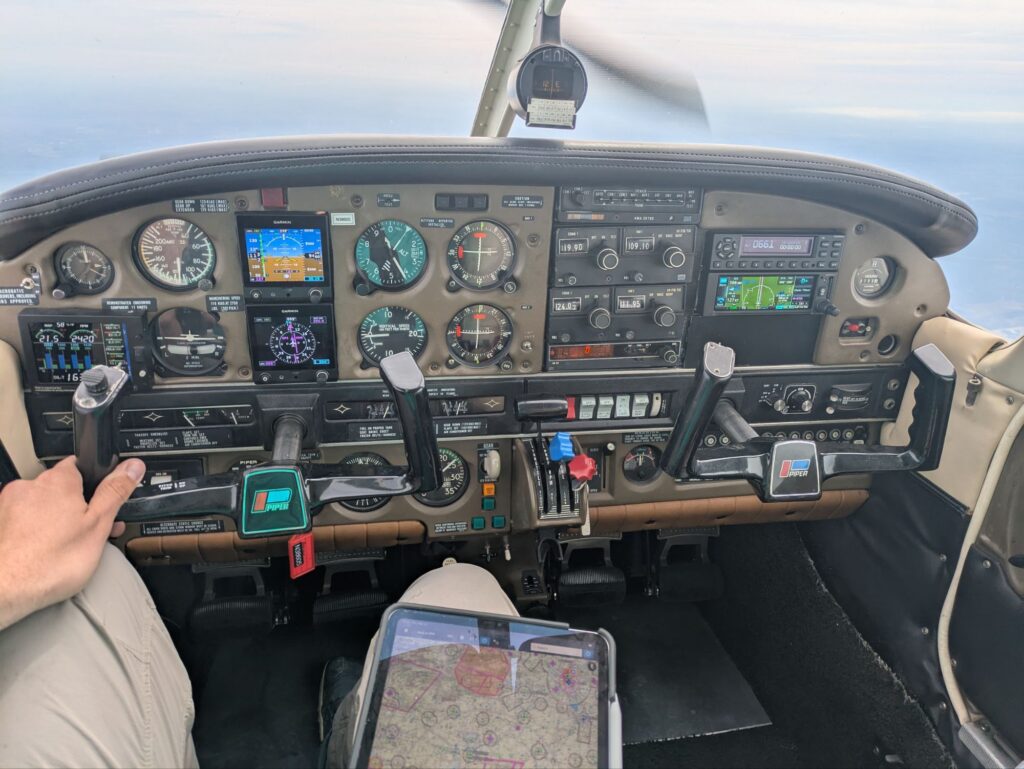
The purpose of this trip was to take one of the planes from our school back to its owner, who’s going to be using it for personal flying instead of leasing it to the school. I’ll miss that plane, its the one I did my commercial cross-countries in, and it’s a real joy to fly. A Piper Arrow is definitely up there on my list of favorite planes!
Got home just after midnight, and back up the next morning to get to back to work, another adventure successfully completed!
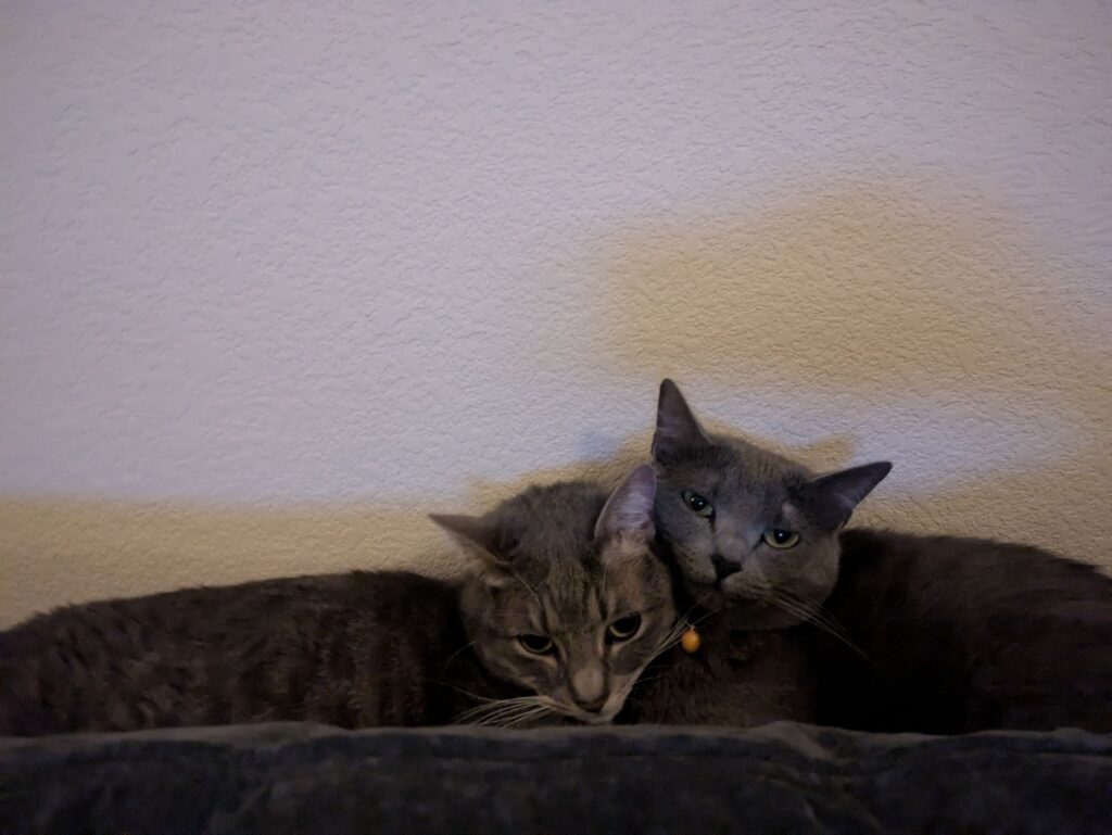
And at the end of it all after arriving home there are a couple of cuddly cats wondering why I’m waking them up so late at night.
Finally have a minute to post an update on my latest adventures!
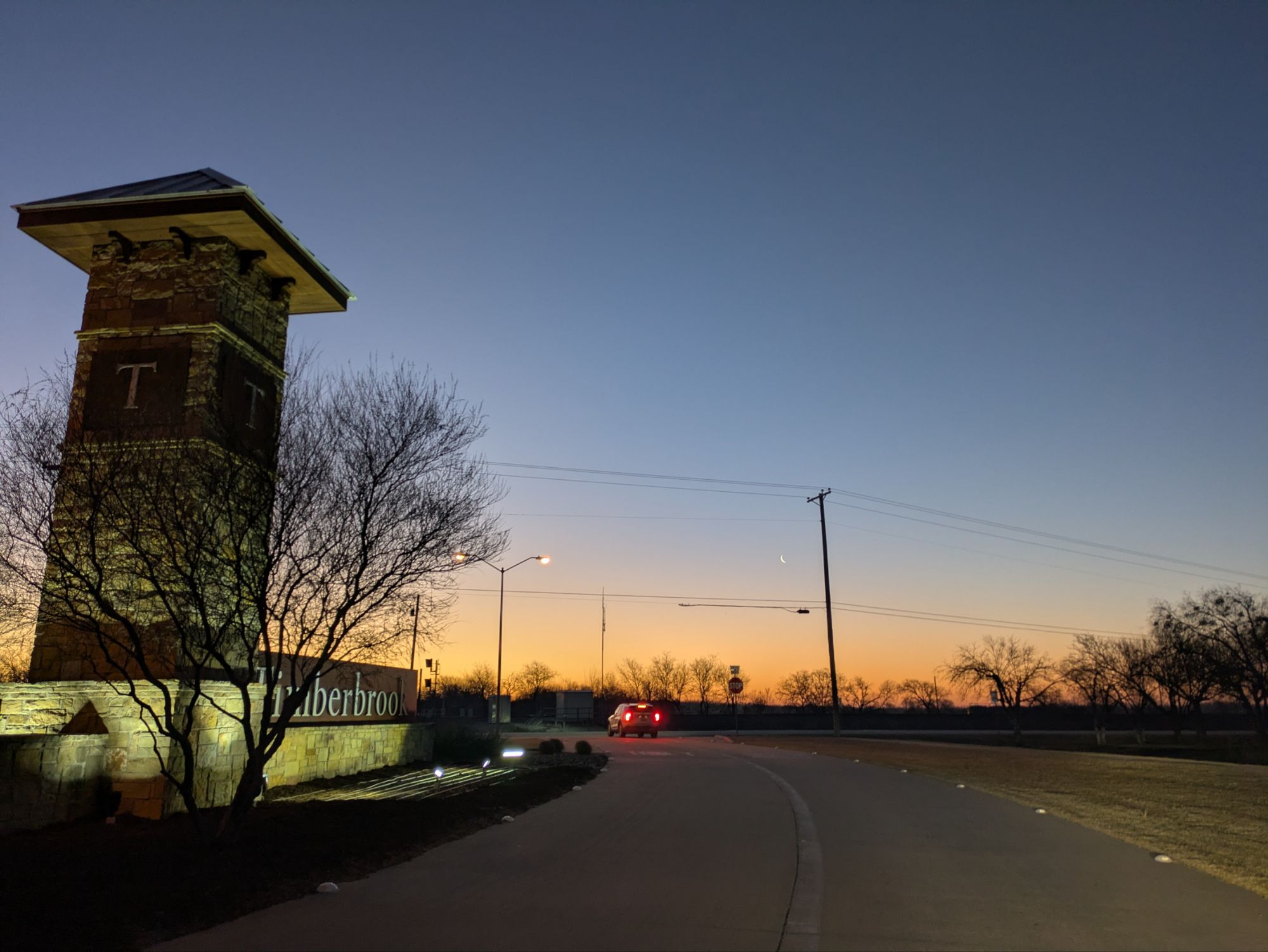
A beautiful morning to go fly
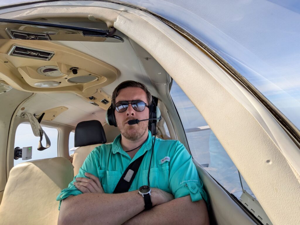
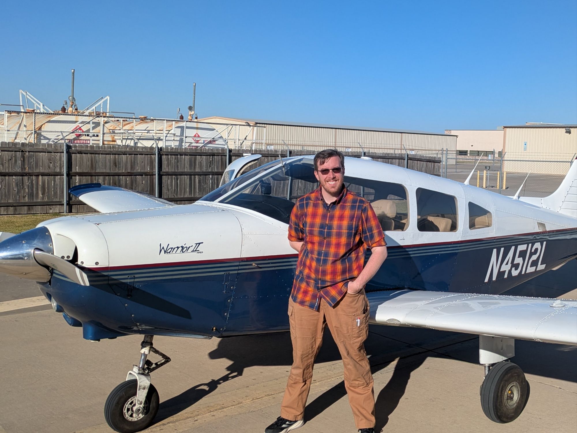
Leaving home on a beautiful clear cool morning with the sun coming up headed off for an adventure! What adventure could it be? Well, here’s a hint: I’m officially a commercially licensed pilot now!
Commercial Checkride passed!
I took the test to become a commercial pilot! Also I passed it! This means I can actually get a job flying airplanes, although not as a pilot for airlines. Next stop: becoming an instructor so I can teach other people to fly!
As of my checkride I have 330 hours of time as pilot in charge of an airplane. Somewhat higher than required, but while I was waiting for my checkride I spent a lot of time safety piloting with people who are working on their instrument certificate. Basically I’ve been playing junior instructor, just spending time with people while they’re practicing, helping make sure they stay safe and giving whatever tips and tricks I can.
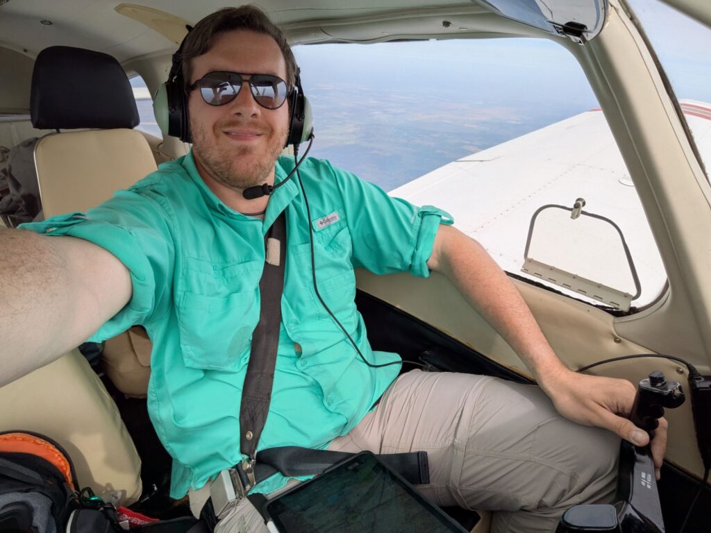
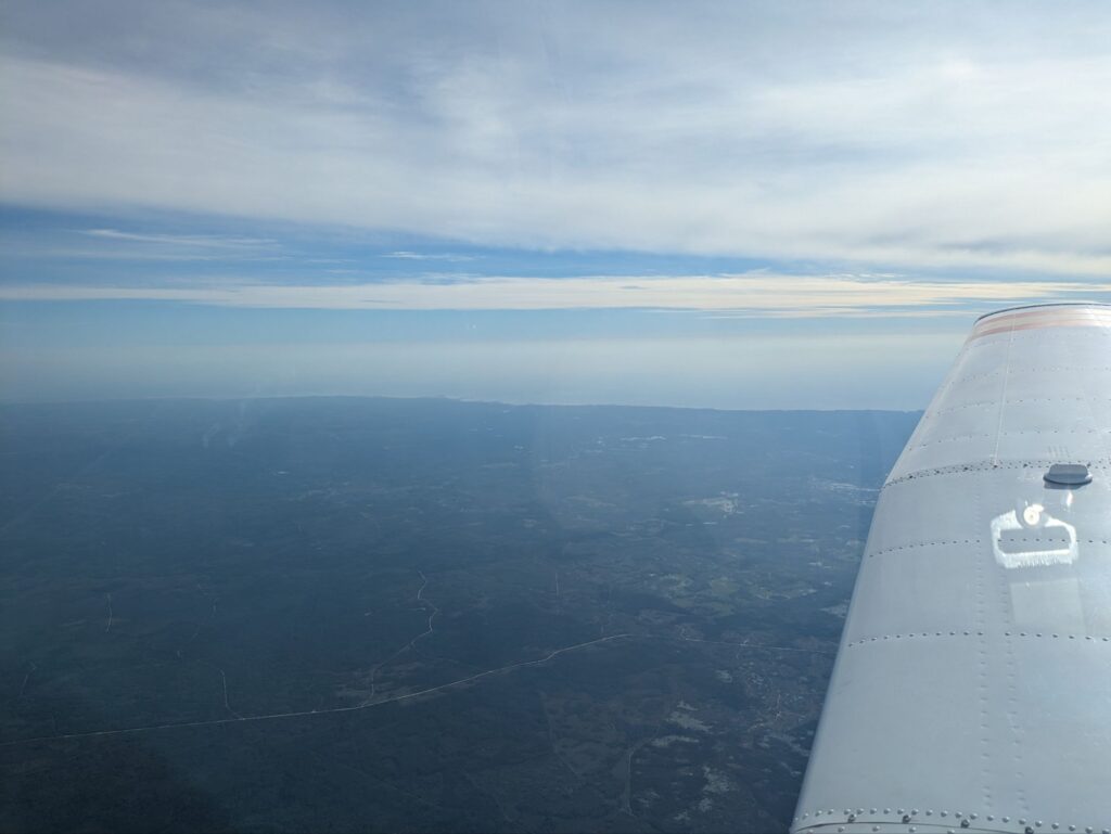
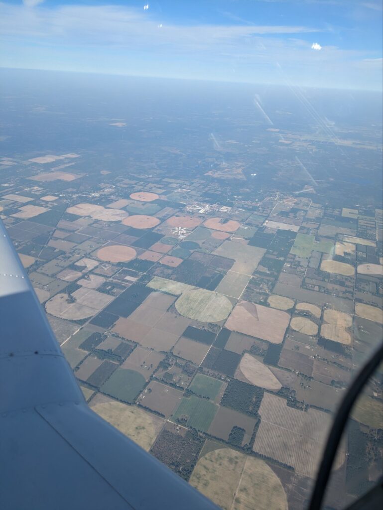
Believe it or not, that’s probably the least exciting of the adventures I’ve had recently! As hinted in my last couple posts, I got to fly a small 2-seat airplane home, all the way across the continent, from Sacramento CA to Dallas TX.
There’s a bunch of pictures attached, so click the Continue Reading button to find out more about this adventure!